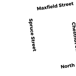
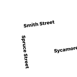
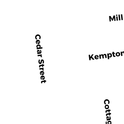
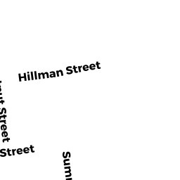
11 SPRUCE ST
Owner Information
CHAVES DENIS
69 FORT MEADOW DRIVE
HUDSON, MA 01749


Property Details
11 SPRUCE ST is classified as a Three-Family Residential (3 family).
The primary structure on this property was built in 1873. There are 2,715ft2 of built area within this property. There is 2,715ft2 of residential/living space within this property. This property is listed as having 14 rooms. There are 3 units within this property.
11 SPRUCE ST is valued at $191,900. The land is valued at $54,400 and the structures are valued at $137,500.
This property is in Zone RB. Confirm with local Zoning Board authorities to ensure there are no overlays or other easements on this property.
11 SPRUCE ST was last sold on Wednesday, February 5, 1992 for $30,000.
Assessment data from fiscal year 2021.
Flood Data
According to the FEMA National Flood Hazard Layer, this property does not appear to be in a flood zone. It may also be in an area not yet reviewed. Nonetheless, confirm this information prior to taking any action.
To view the flood hazards around this property, create a FEMA "Firmette" Map of the area around 11 SPRUCE ST.
Broadband Internet Providers
| Provider | Type | Bandwidth (mbps) | |
|---|---|---|---|
| VSAT Systems, LLC. | Satellite | 2 | 1 |
| Viasat Inc | Satellite | 35 | 3 |
| Verizon New England Inc. | DSL | 15 | 1 |
| Comcast | Cable | 1000 | 35 |
| GCI Communication Corp. | Satellite | 0 | 0 |
| HughesNet | Satellite | 25 | 3 |
Broadband service provider data from December 2020.